 |
|
|  |

Lake Decatur
Created in 1920 with the building of a dam on the Sangamon River, Lake Decatur now covers 3,000 acres in central Illinois next to the city of Decatur. The Lake Decatur watershed extends upstream from the lake, with a total area of over 900 square miles. Nearly all of this land is used for agricultural purposes.
Below you will find some images of the Lake Decatur watershed which depict terrain and land cover in the area. Click on a thumbnail to see the full-size image.
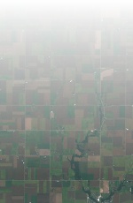
| Landsat image, bands 321 (True Color), spatial resolution 80m | 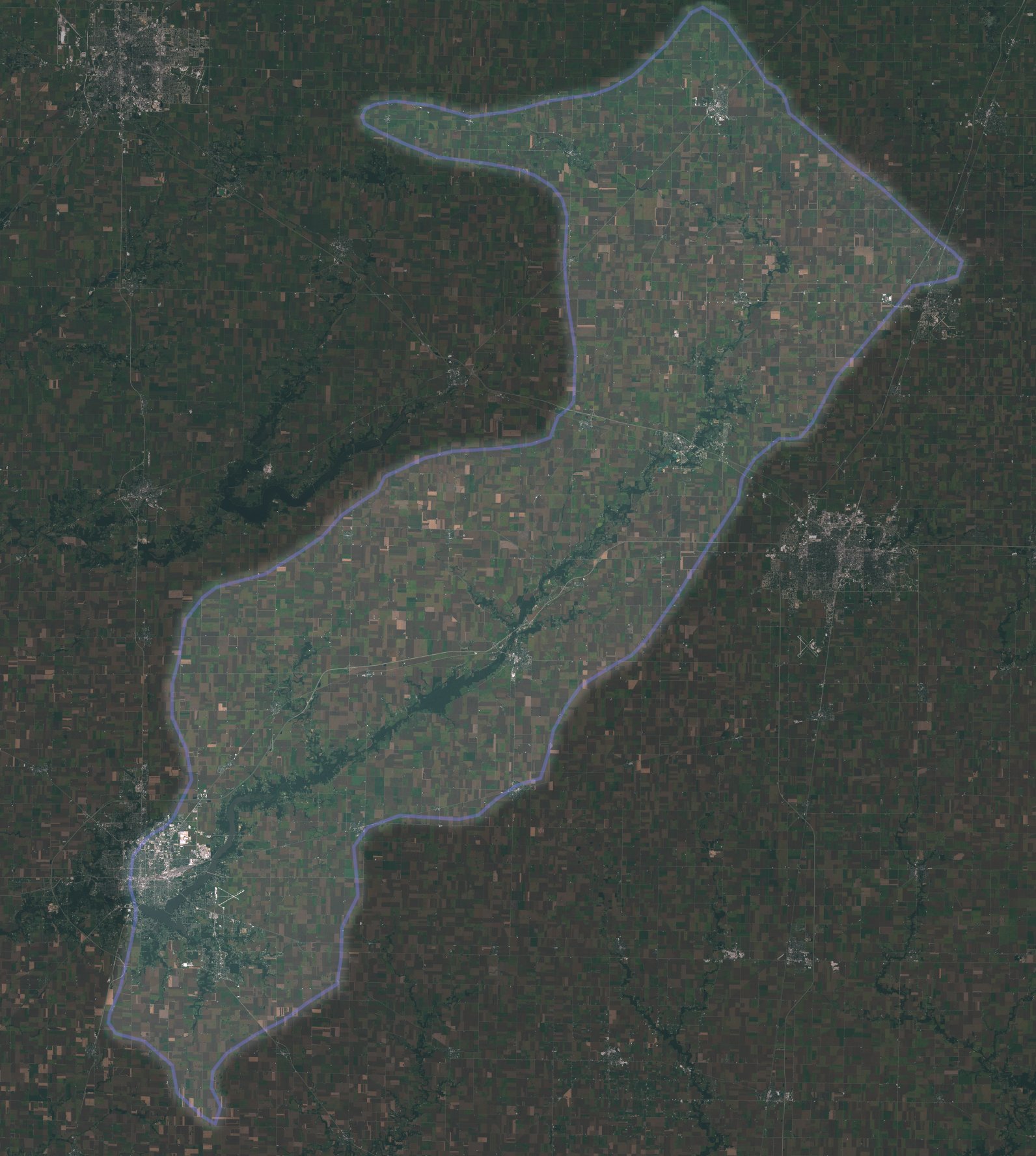 |
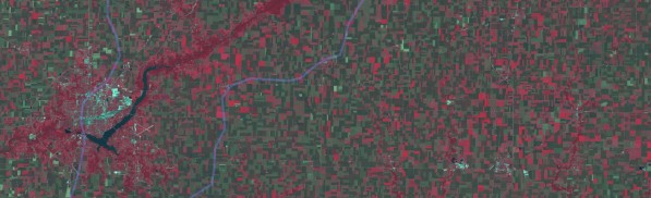
| Landsat image, bands 432 (False Color), spatial resolution 80m | 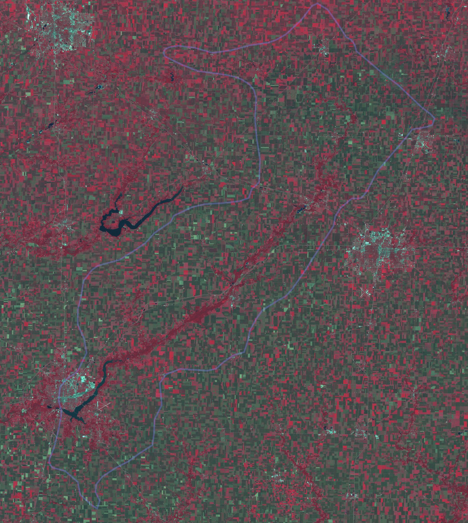 |
| Landsat image, bands 4321 False/True composite, spatial resolution 40m | 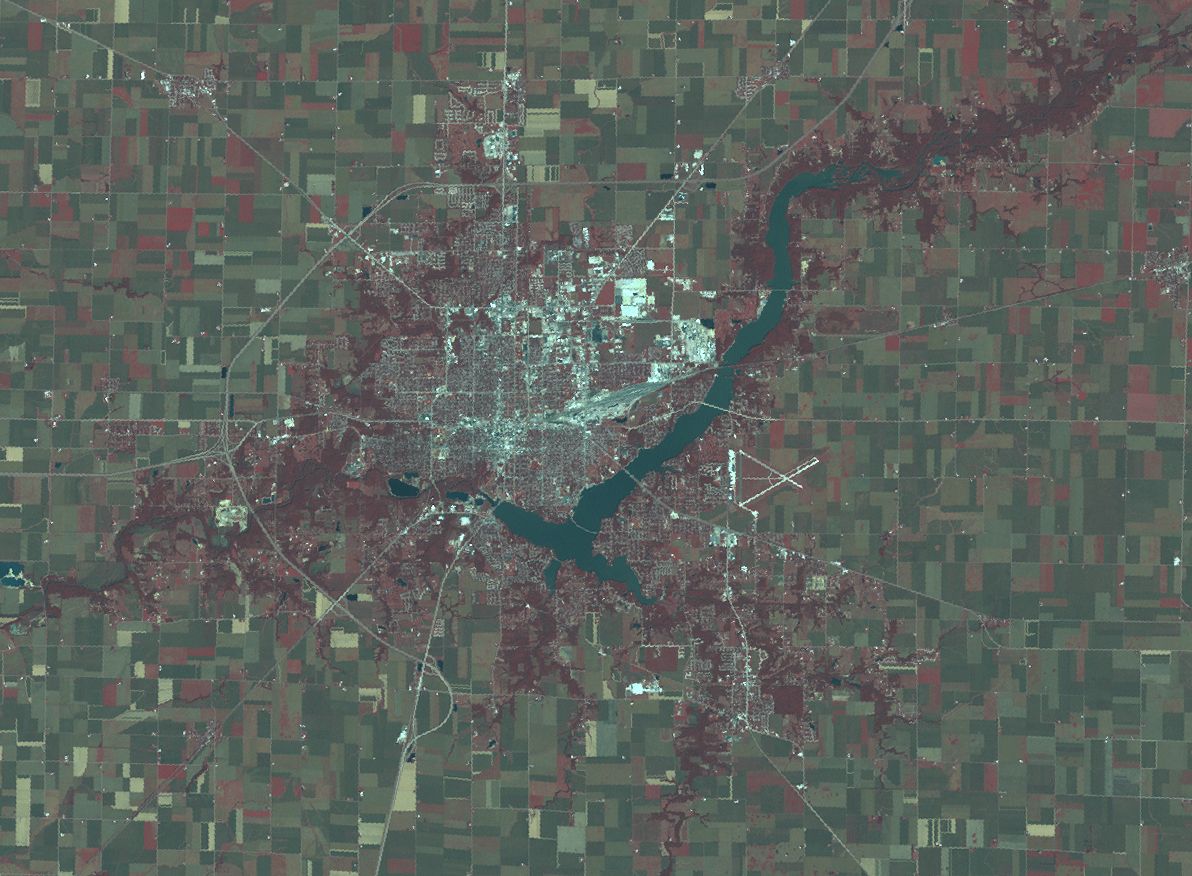 |
| Relief image showing watershed, data from USGS Digital Elevation Models | 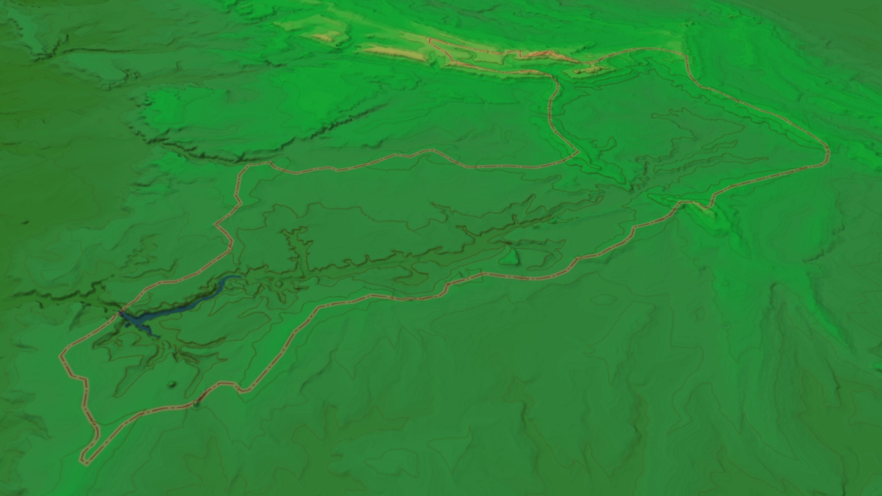 |