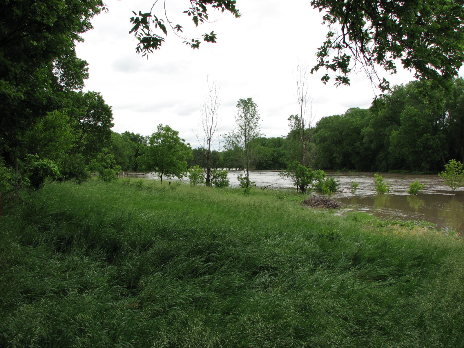
"100-Year" Flood
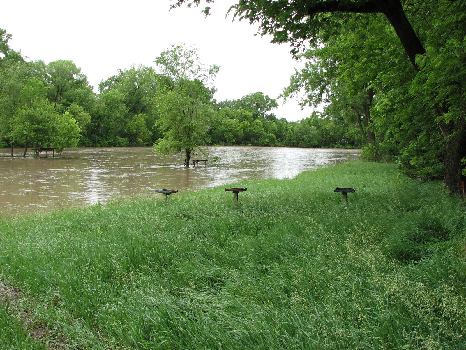
Looking west-southwest; the three little "tables" are part of the
shooting range for my CCH (Concealed-Carry Handgun) classes. The
tree in the middle is above a 25-yard target stand, and for the
trees on the left, keep reading.
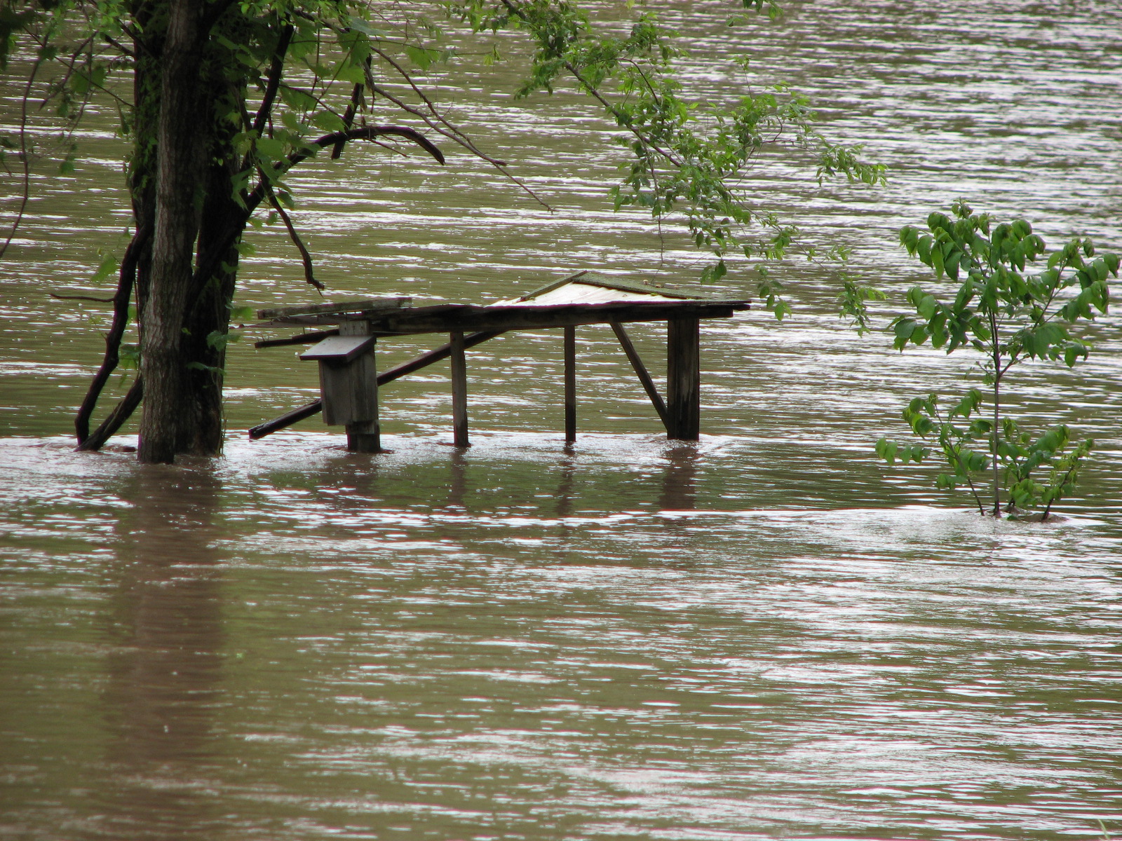
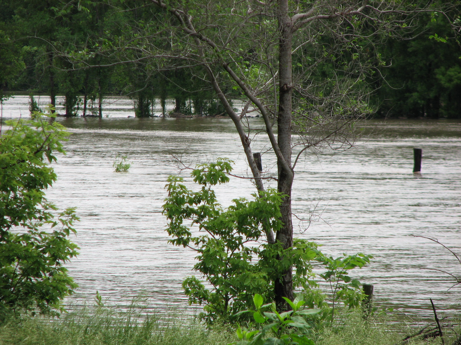
Closer-up of target stand, somewhat damaged by the flood (perhaps
hit by a floating log?)
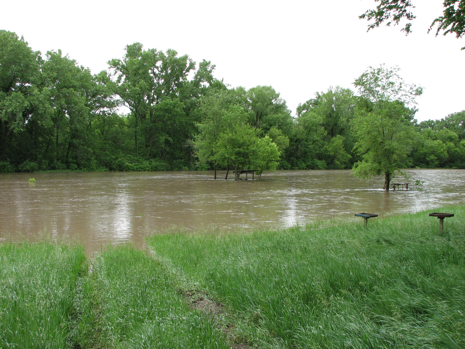
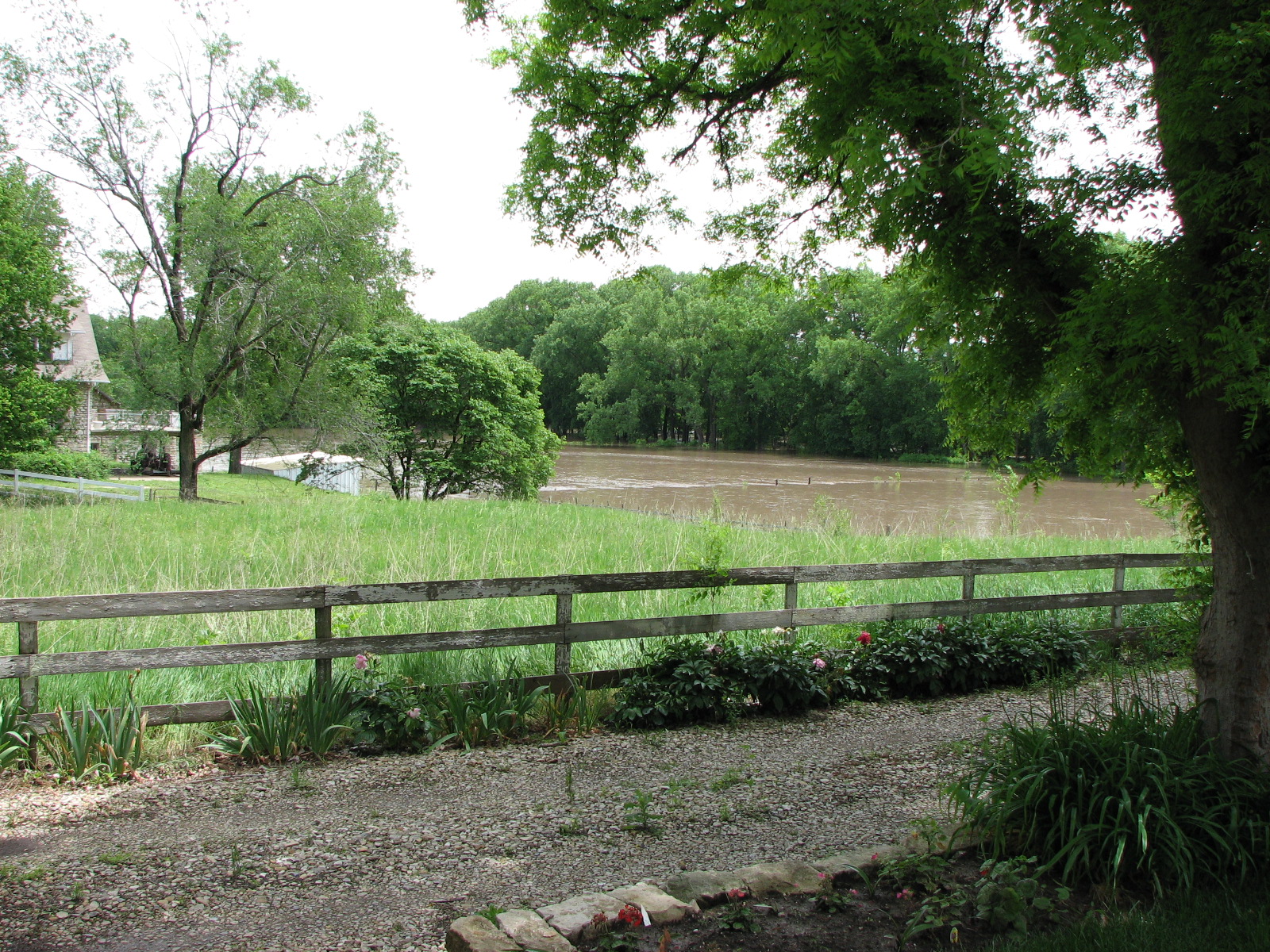
Looking south toward my covered benchrest shooting shed; the water is
about 4 feet deep out there in the middle of the "river".
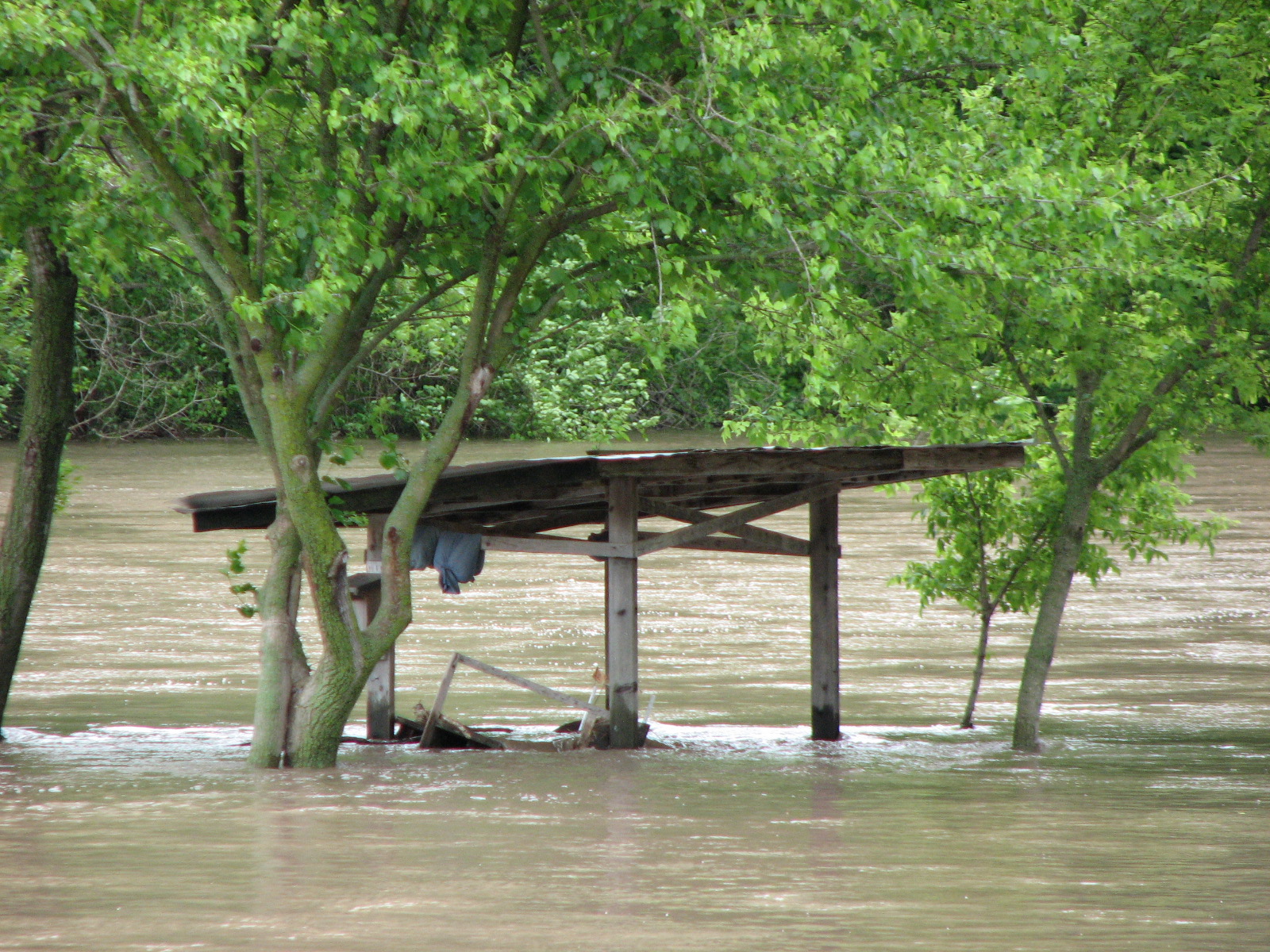
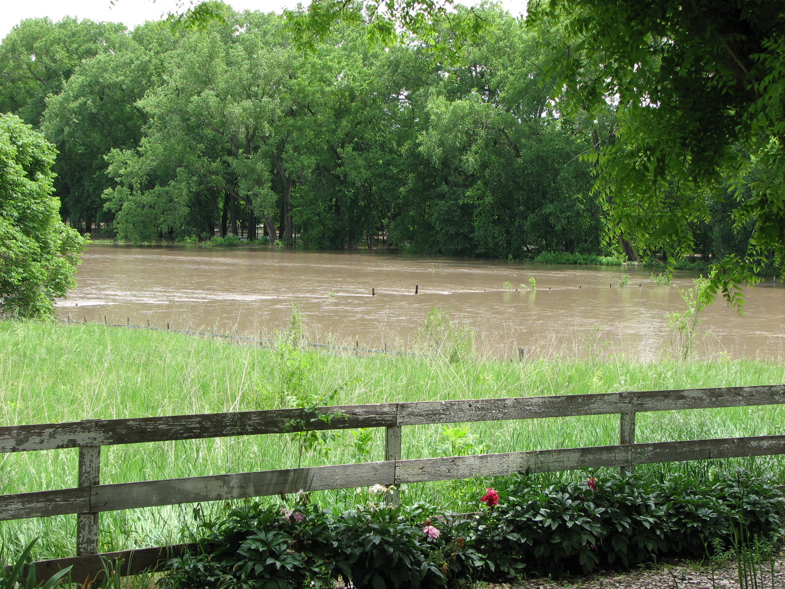
Closer-up; the shooting bench is about ready to float downstream;
note sandbags which are always stored hanging from the shed's
cross-bracing!
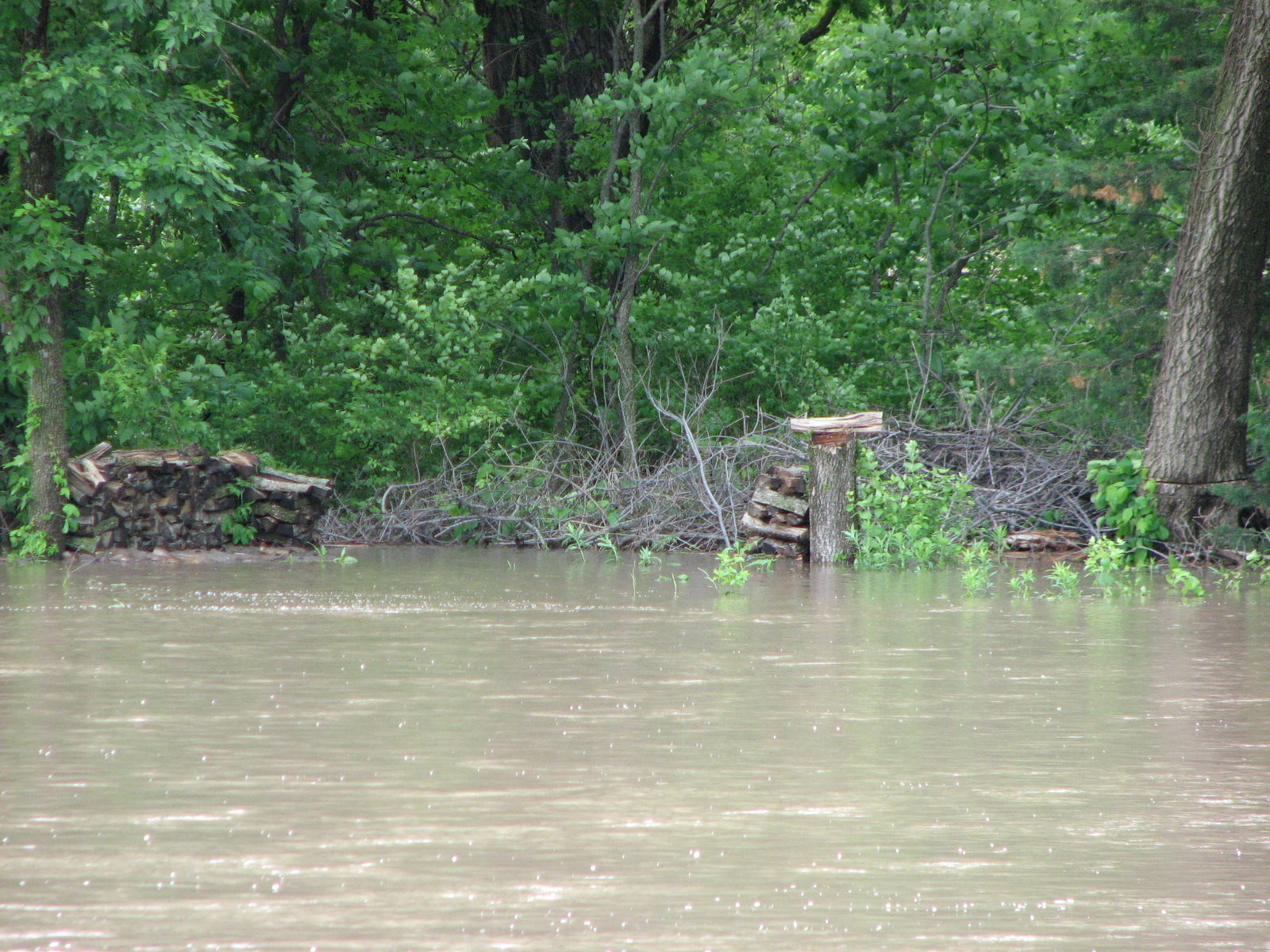
Woodpiles on far side shortly before they washed downstream.
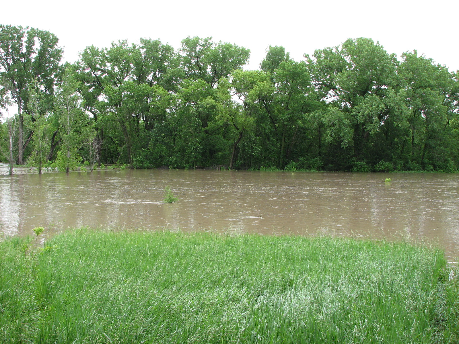
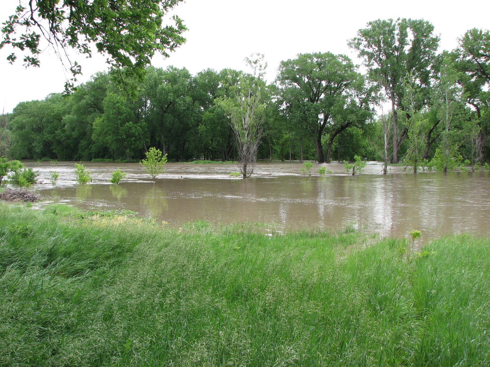
Looking east-southeast
Looking almost southeast; the big ripple just on the other side of the
sparse treeline is caused by a 4-foot-high fence
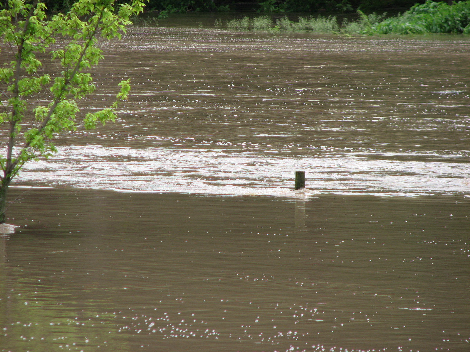
Just-visible post of the above-mentioned fence
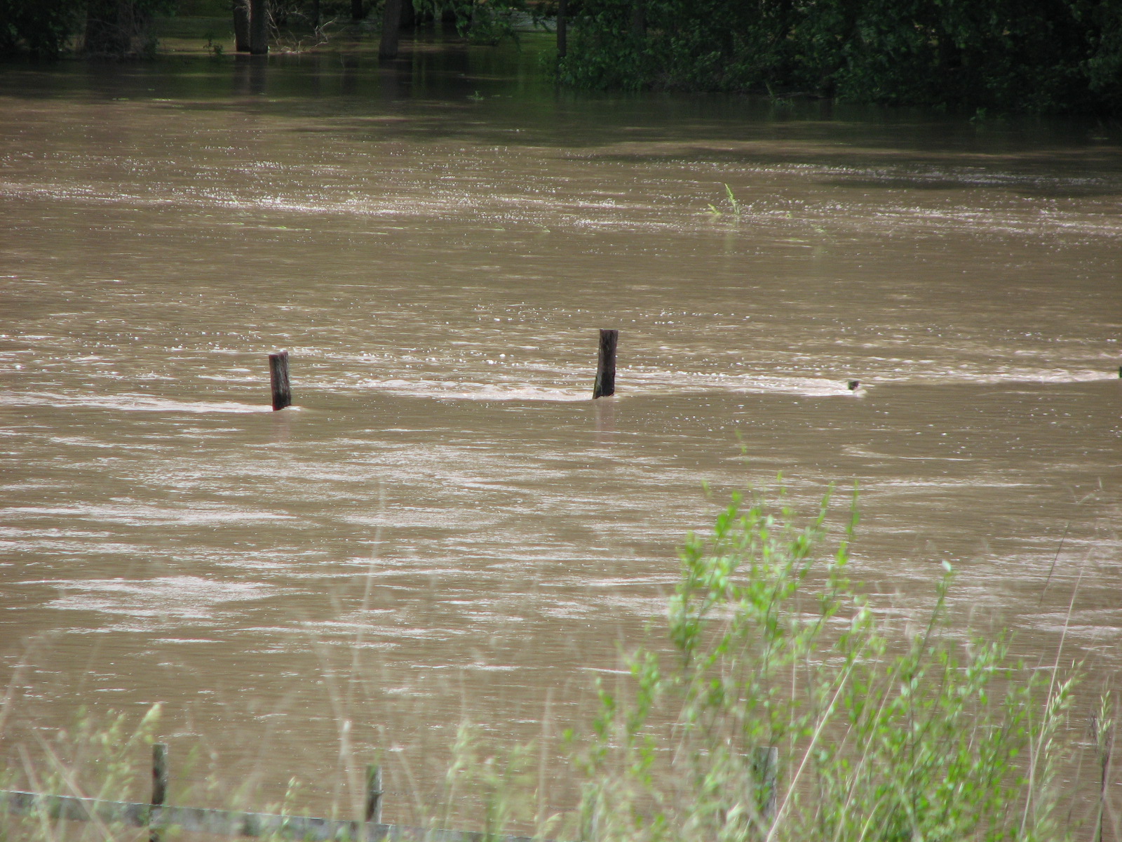
Looking almost east; black dot in center of neighbor's "river" is another
fence post
Actually, there are several barely-visible fence posts
Same fence posts, but picture is taken from our east porch
Closer-up of same fence posts
Same fence posts again still closer
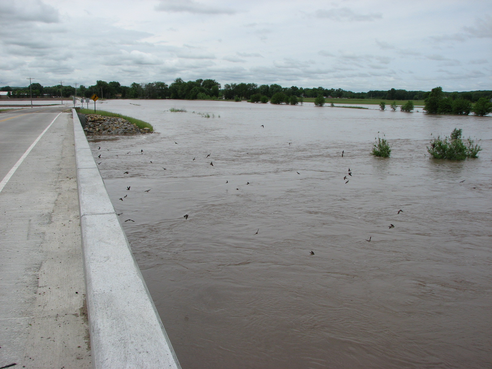
About three-fourths of a mile east/downstream of our place, a logjam
underneath the Manhattan Avenue bridge causes the water to spread out
before it can cross the road at a low spot. Fortunately, there
is another access road to "Hunter's Island" west/upstream of our place.
And that's the end of this tour.
This page was created on 6 December 2010.